
TRACC Training
| Date | 21/07/2026 |
| Time | 14:00-16:00 |
| Location | Online |
| Capacity | 6 |

Our online TRACC training can be done from the comfort of your own desk. This training allows users to connect to a version of TRACC hosted via their web browser, once connected the sessions are delivered fully remotely with our experienced trainer guiding delegates through each of the sessions, covering all the main aspects of TRACC. The four sessions are described below:
Session 1 - Importing and Preparing Data - Monday 7th 2pm
This session introduces the data required to build a TRACC project and explains how to import, review and validate each dataset before beginning an accessibility calculation.
-
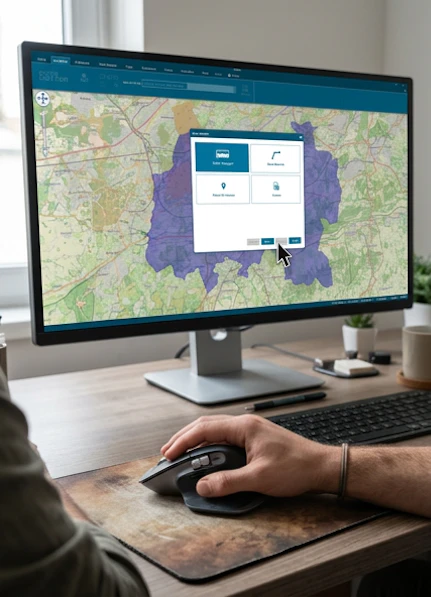
Using DataCutter
- Selecting an area of interest by searching, drawing or uploading a boundary
- Identifying the appropriate datasets for a TRACC project
- Downloading data in a TRACC-compatible format
- Understanding current and historic public transport datasets
-
Importing data into TRACC
- Public transport timetables, routes and stops
- Road, walking and cycling networks
- Origin datasets, including population points and centroids
- Destinations, facilities and points of interest
- Census and demographic datasets
- Reviewing coordinate systems, field mappings and common import issues
-
Transport Network Statistics Report
- Checking the size and coverage of the imported network
- Reviewing routes, services, stops and timetable information
- Identifying missing or unexpected data before running calculations
-
Transport Stops Reachability Search
- Looking at how far you can get from a transport stop without any interchange
- Show how reachable a stop is
Duration: 2 hours

Session 2 – Calculations and Outputs - Tuesday 8th 2pm
This session covers TRACC’s principal accessibility calculations, from creating an origin–destination matrix to measuring local accessibility and public transport provision.
-
Preparing a calculation
- Selecting the relevant transport modes and networks
- Setting journey times, departure windows and interchange parameters
- Choosing suitable origins and destinations
- Saving and reusing calculation settings
-
Origin–Destination calculations
- Calculating journey times between multiple origins and destinations
- Comparing public transport, walking, cycling and driving accessibility
- Understanding travel-time matrices and unreachable results
- Mapping, filtering and exporting outputs for further analysis
-
Local Accessibility
- Measuring access to nearby stops
- Looking at how frequency impacts access
- Look at crow flies and road network access
-
Public Transport Accessibility Level (PTAL)
- Running and interpreting PTAL calculations
- Mapping PTAL scores and reviewing the underlying service information
-
Arrive By/Depart At – optional additional content
- Understanding the difference between arrival- and departure-based analysis
- Assessing access to time-sensitive destinations such as employment, education and healthcare
- Comparing results across different times of day
Duration: 2 hours

Session 3 – Editing Transport Data - Wednesday 9th 2pm
This practical session explains how to modify public transport and road networks to test future scenarios, proposed interventions and changes to existing services.
-
Editing the public transport network
- Reviewing the existing timetable, route and stop data
- Adding or modifying stops and route alignments
- Changing service frequencies and operating times
- Suspending or removing stops and services
- Creating proposed or hypothetical services
- Validating edited services before running calculations
- Comparing the existing network with an edited scenario
-
Editing the road and pedestrian network
- Reviewing network links and connectivity
- Adding new links, access points and pedestrian connections
- Editing speeds, permitted modes and link properties
- Representing proposed roads, paths, crossings or severance
- Resolving gaps and disconnected sections of the network
- Assessing how network changes affect accessibility results
-
Scenario management
- Retaining an unchanged baseline
- Organising and documenting alternative scenarios
- Rerunning calculations and comparing before-and-after outputs
Duration: 2 hours

Session 4 – Advanced Calculations and Analysis (Optional) - Thursday 10th 2pm
This session explores more detailed TRACC outputs for understanding individual journeys, service provision and the relative connectivity of different locations.
-
Enhanced Output and Service Analysis
- Producing more detailed calculation outputs
- Examining the services contributing to accessibility
- Exporting detailed outputs for GIS, spreadsheets and reporting
-
Path Reports
- Investigating the journeys behind calculated travel times
- Reviewing walking, waiting, boarding, interchange and in-vehicle time
- Identifying the stops, services and links used
- Mapping individual paths and exporting journey details
- Using path reports to explain unexpected or poor results
-
Connectivity Score
- Measuring the range and quality of opportunities accessible from a location
- Configuring destination types, journey-time bands and weighting
- Comparing connectivity between neighbourhoods or development sites
- Mapping results to identify well-connected and poorly connected areas
-
Hansen Report
- Introducing the Hansen accessibility methodology
- Combining destination opportunities with the effect of travel impedance
- Configuring opportunities, journey times and decay assumptions
- Interpreting and comparing Hansen accessibility scores
- Applying the results to strategic planning and option appraisal
Duration: 2 hours
To book a place please get in contact with us.