
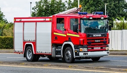
Saving Lives with Speed Data
| Client | Leicestershire Tri-Service Fire and Rescue |
| Date | 07.07.2026 |

Impacting their Response Time
Leicestershire Tri-Service Fire and Rescue are using Basemap’s speed datasets in their Command and Control System after initially trialing the data for 6 weeks. They had previously used AVLS plus manual updates for routing, but Data Manager Paul Botterill noted that this “Did not provide realistic and accurate resource proposals, especially in known areas where higher speeds were achievable”. By using our speed datasets, they are now able to provide more efficient and quicker routing and have also reduced the number of challenges on mobilising decisions.
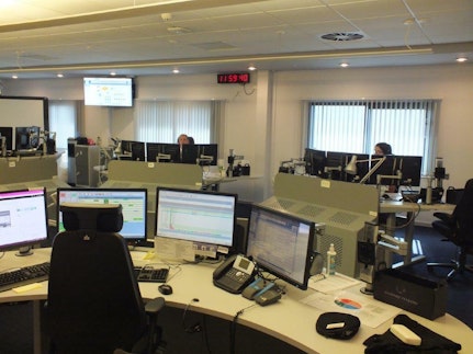
Derbyshire, Leicestershire and Nottinghamshire Fire and Rescue Services have been part of a Tri-Service collaboration for the implementation of a single linked mobilisation system with the aim being to achieve the most appropriate and fastest response to all incidents. After several months, a review suggested that a significant number of reports received by crews were incorrect and other resources may have been closer/quicker to reach the incident. The number of reports and questions relating to mobilisations continued to increase and each report needed investigation across several departments into the factors that influenced which resource had been allocated and why. “The disruption to business as usual working and the financial impact of these investigations was substantial and equated to 1.75 FTE posts and a cost of £50k pa” Richard noted.
Using Average Speeds
To help improve emergency responses and reduce the cost implications of so many investigations, the Tri-Service looked for a new provider of traffic data which could be used against their road network. Our average speeds dataset, which utilises real speeds from vehicles sourced from their in-vehicle GPS telematics, provided them with comprehensive data covering a 24 hour and full year period. This data is then attached to the accurate Ordnance Survey road network which is provided to all public sector organisations to provide a highly accurate road and speed dataset. “We were able to implement an appropriate dataset which balanced the achievable road-speeds with the additional benefits of blue light to make progress through traffic” Richard explained.
Since the implementation of our data, the number of reports raised within the Tri Service has fallen dramatically. Richard noted that the impact of this data has saved over 270 hours of work each month, providing an incredible annual staff saving of over £85,000 and “departments now have time to commit to more appropriate investigations with lessened disruption to business working and the financial impact on the Services has been reduced”. The reduction in error reporting has allowed time to examine other areas of their mobilisation process and seek greater accuracy in appliance proposals and improving services.“These datasets have provided accurate travel data which has improved our capability in predicting potential attendance times to be used within our mobilising system and fulfil our aim of providing the nearest/quickest resource to attend a location”
Using GPS Telematics Data
Combining GPS & Ordnance Survey to create a road data set

Since using Highways Analyst, LFRS have saved over 270 hours!
More accurate data traffic has helped the firm to attend more investigations
We were able to implement an appropriate dataset which balanced the achievable road-speeds with the additional benefits of blue light to make progress through traffic.
Paul Botteril
Data Manager LFRS